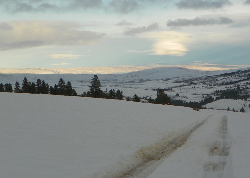
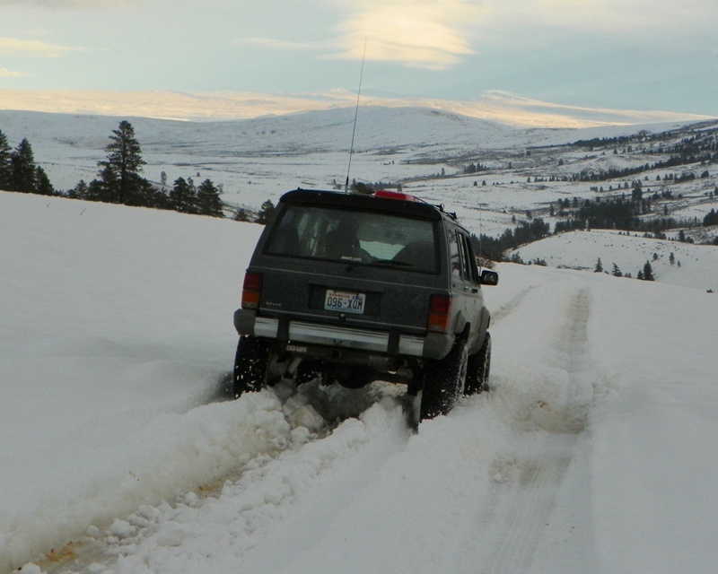
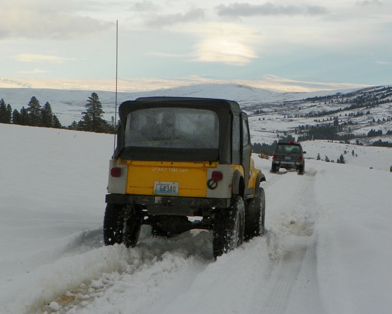
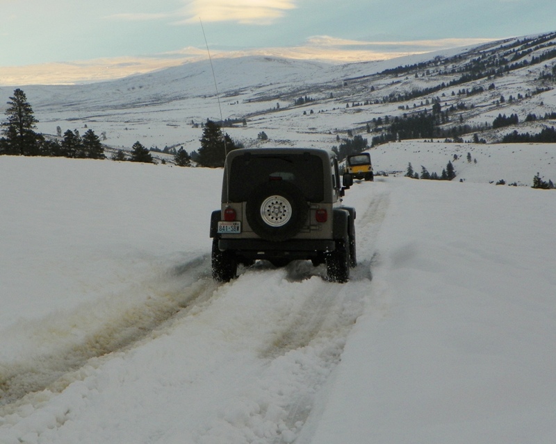
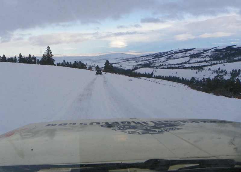
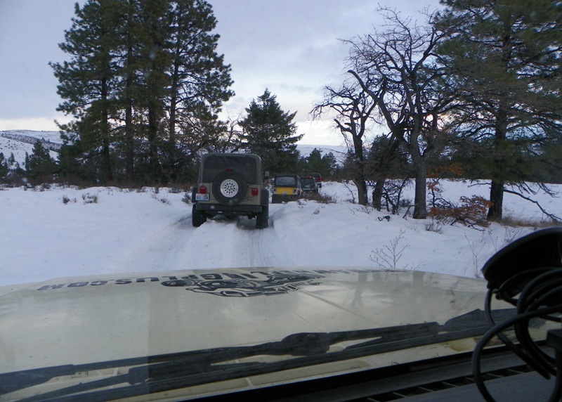
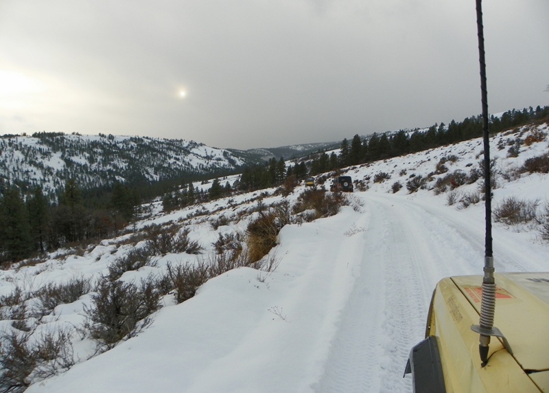
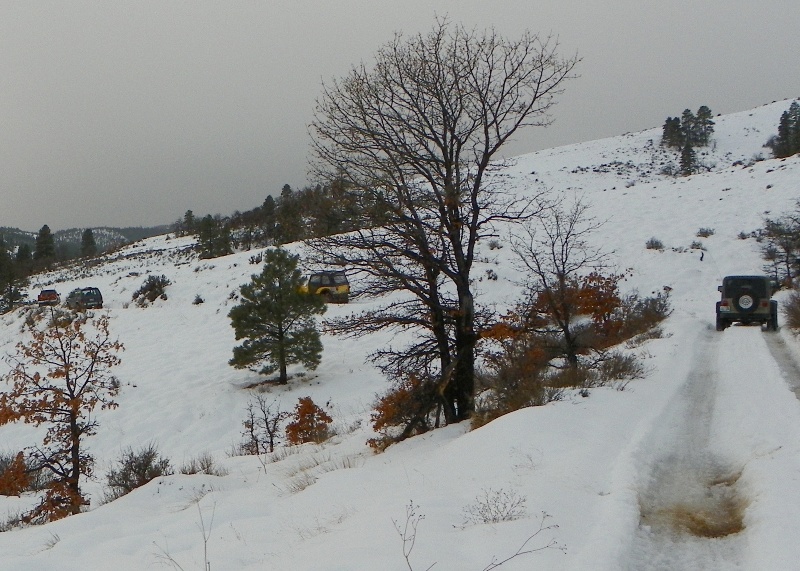
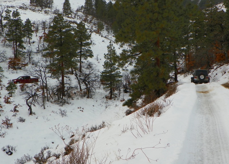
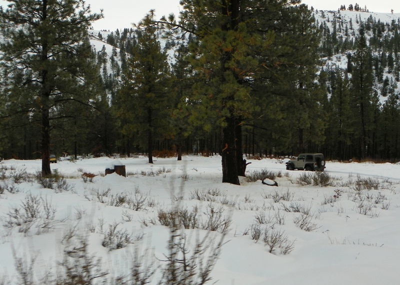
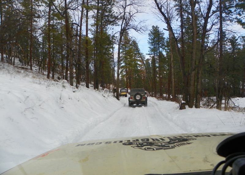
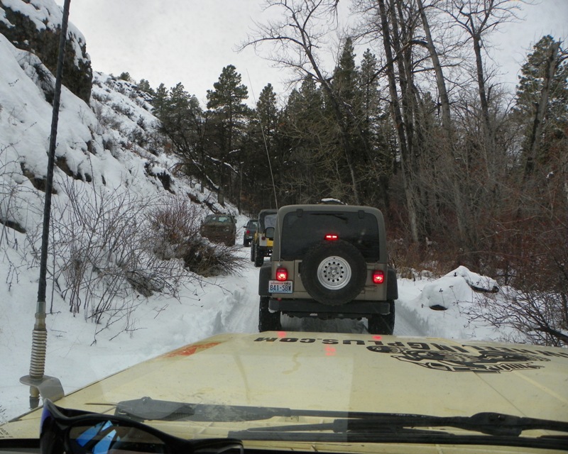
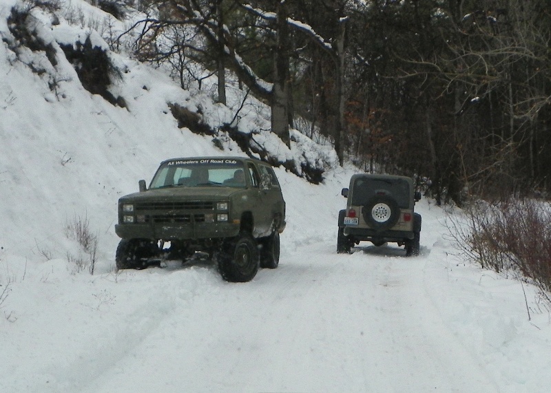
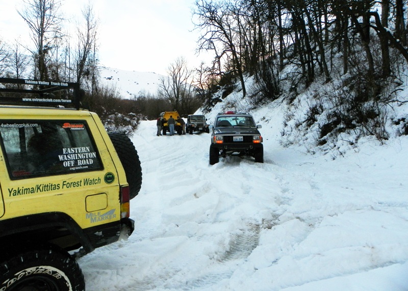
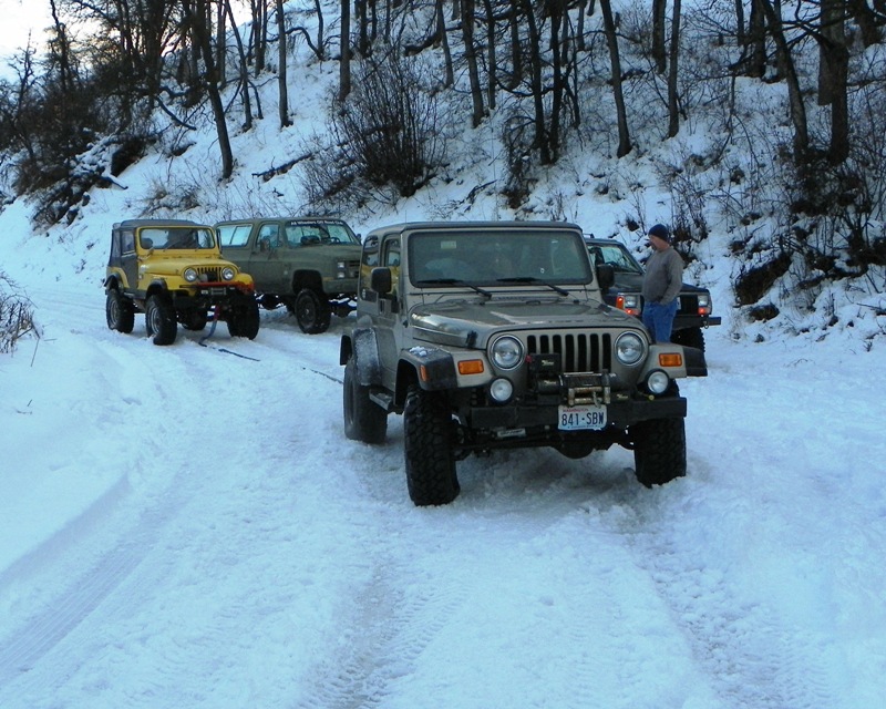
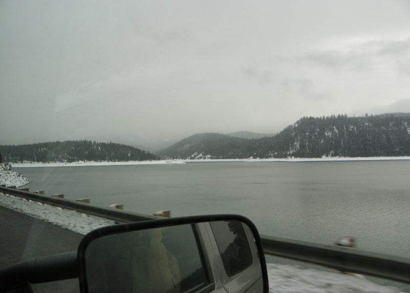
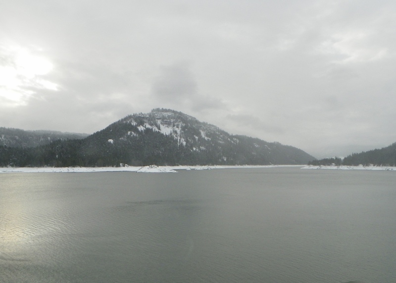
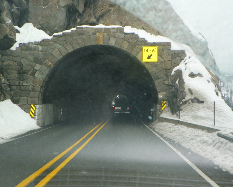
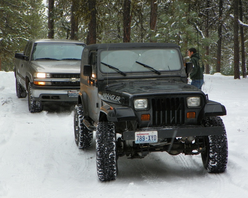
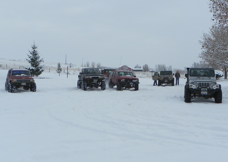
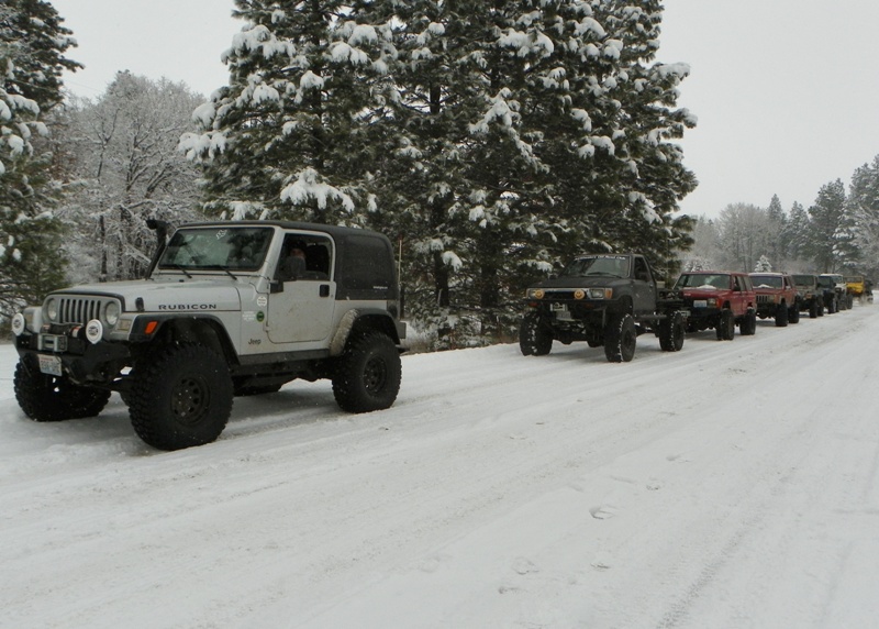
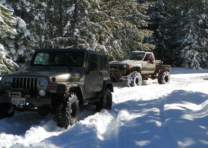
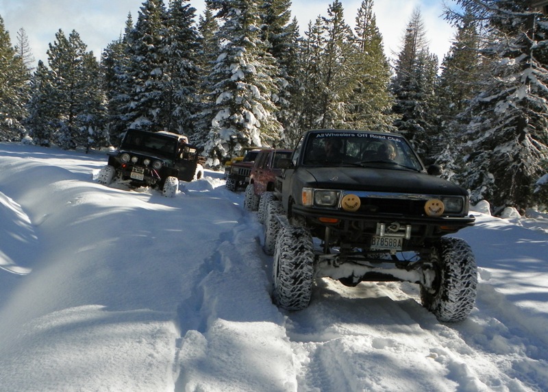
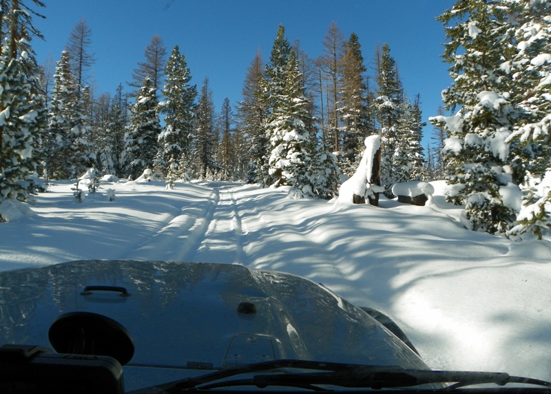
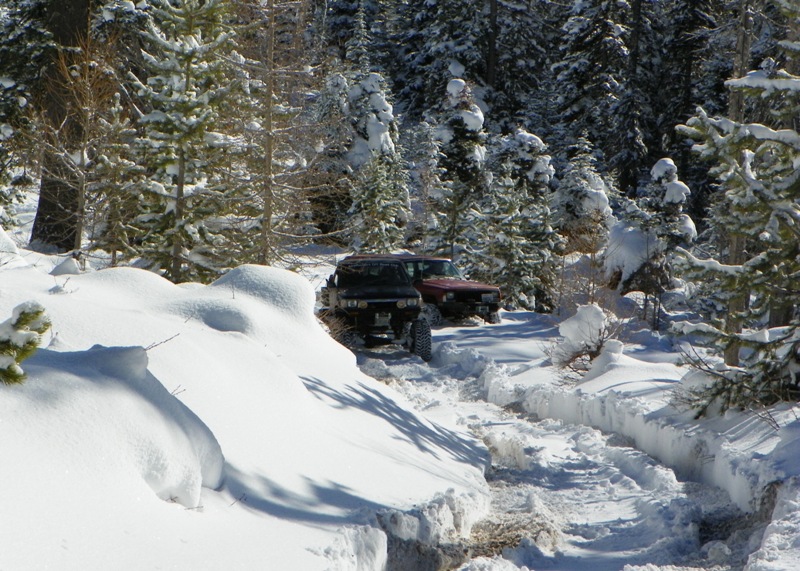
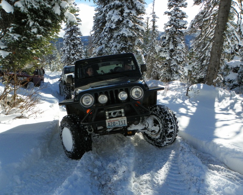
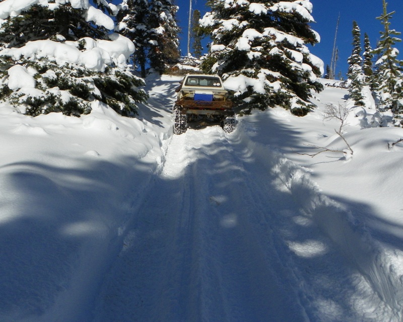
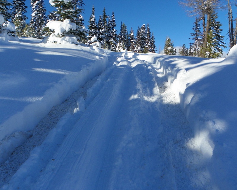
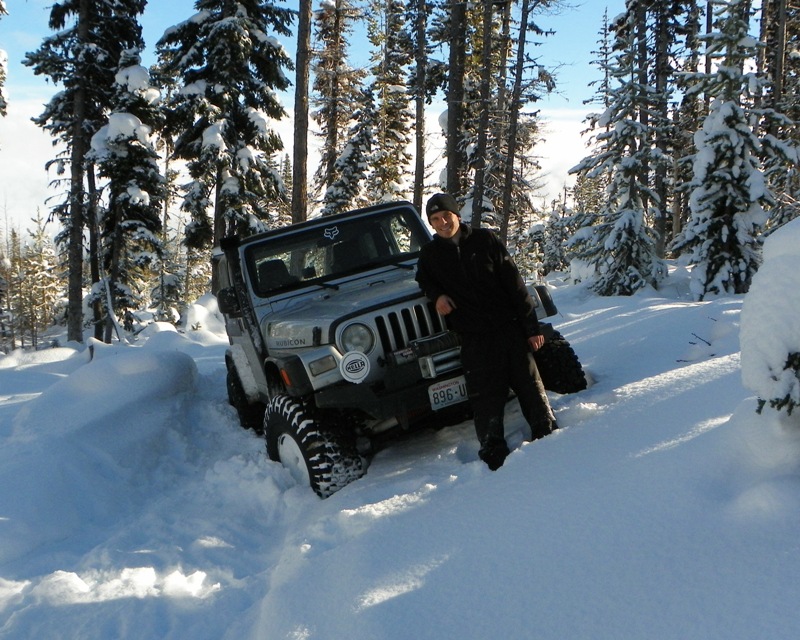
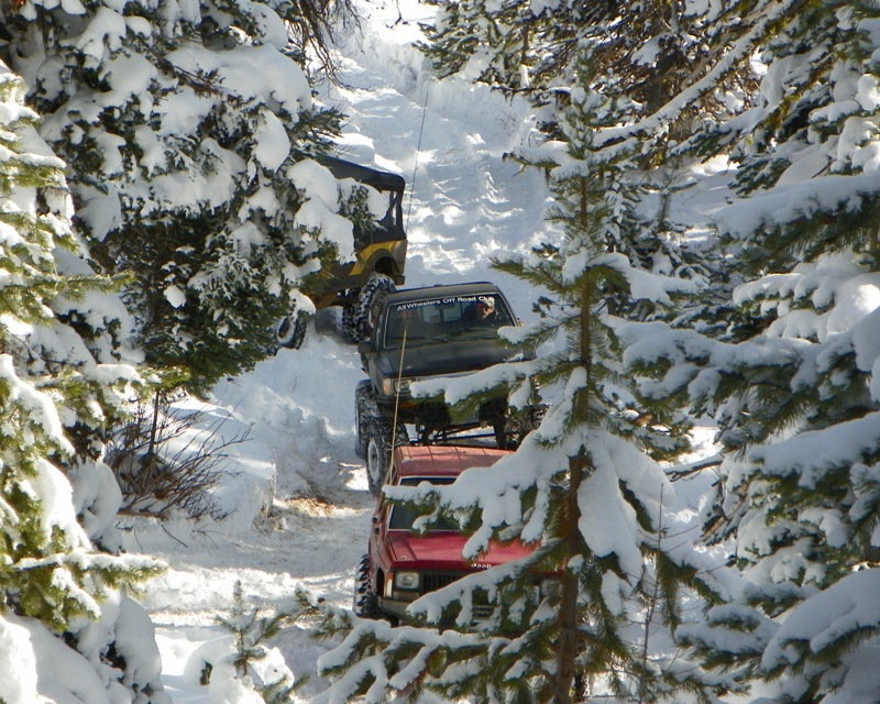
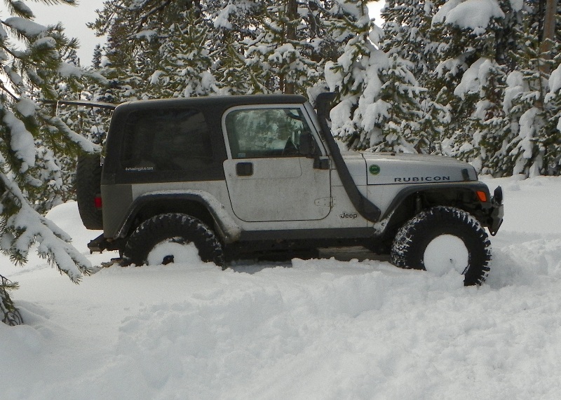
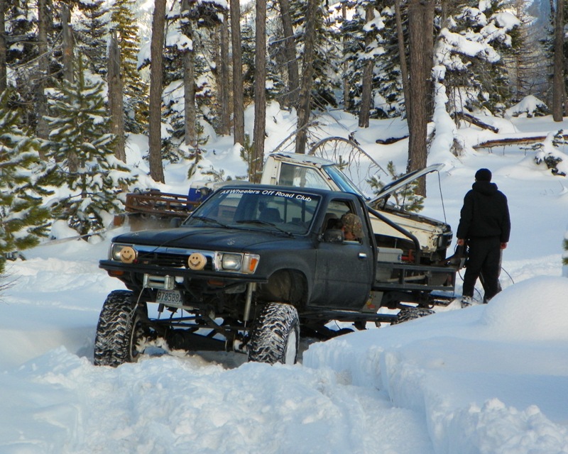
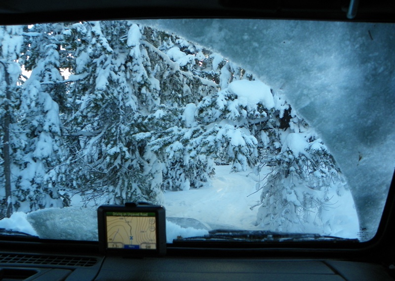
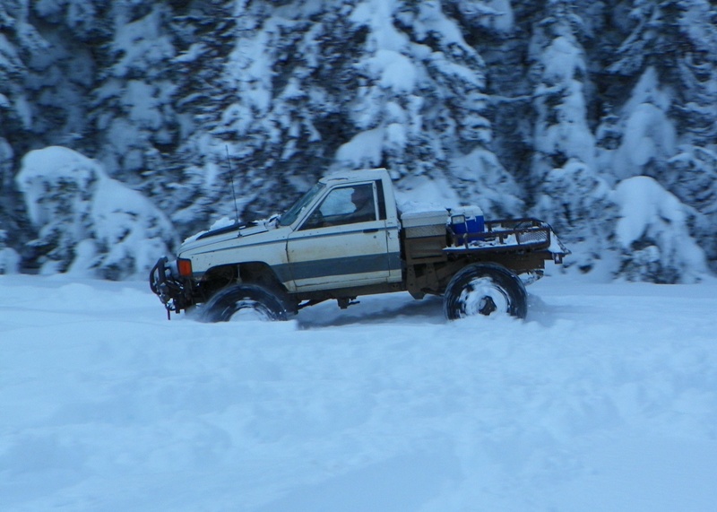
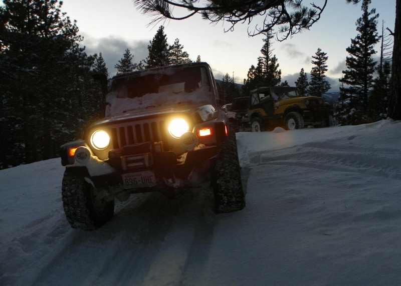
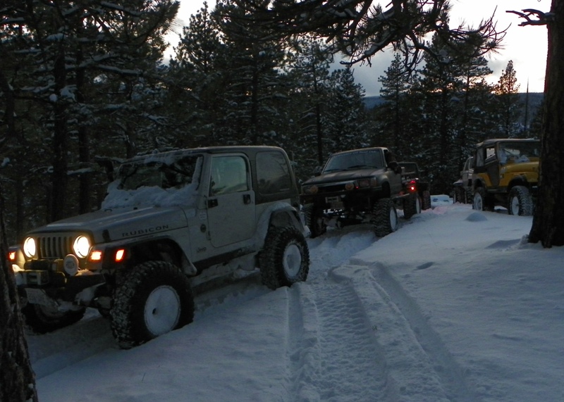
Photos: EWOR “Wild Winger!” Naches Pass 4×4 Run

“Wild Winger!” Naches Pass 4×4 Run
Hosted by Eastern Washington Off Road
Report and photos by Clay Graham / Eastern Washington Off Road

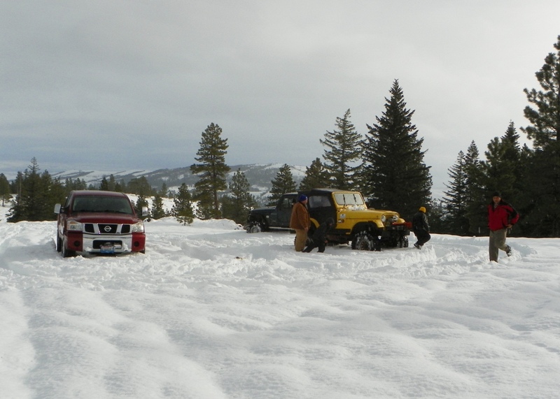
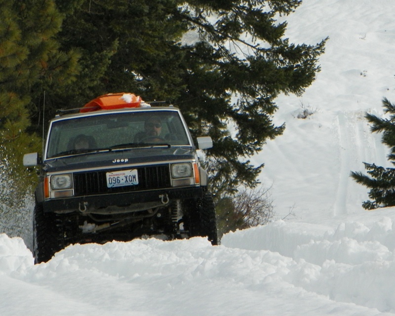
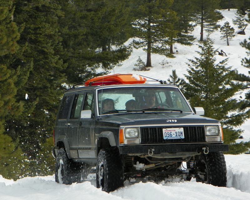
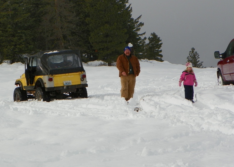
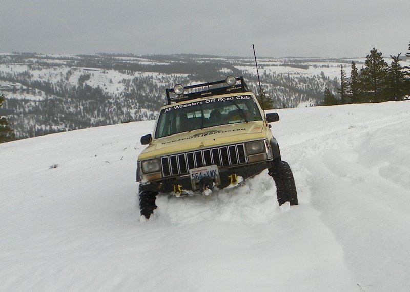
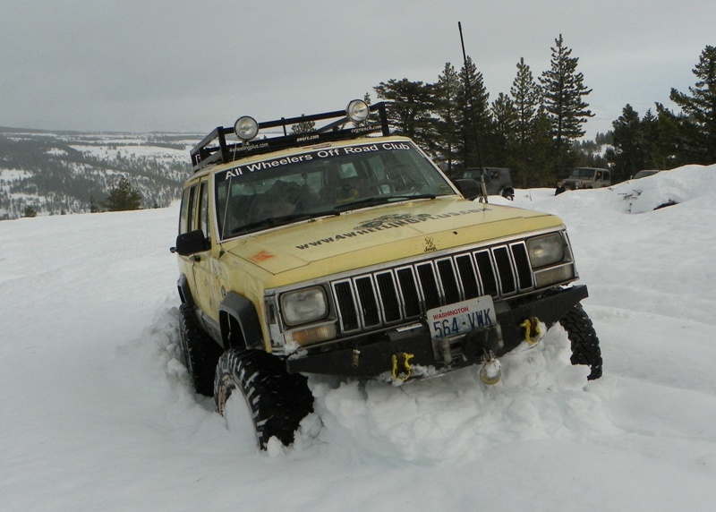
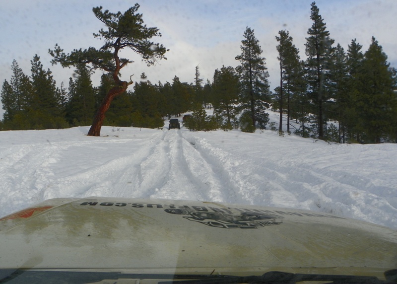
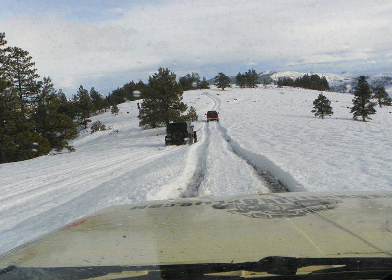
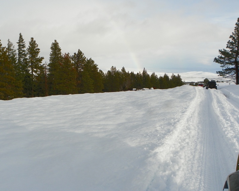
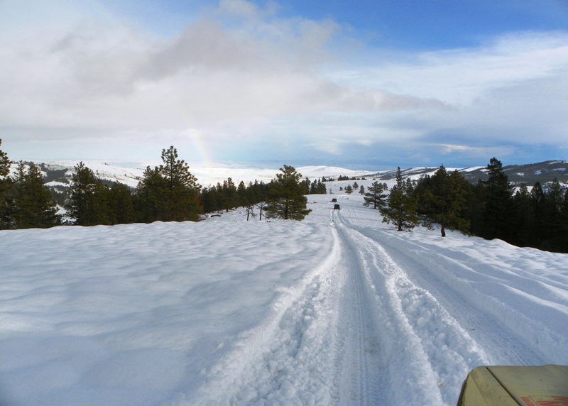
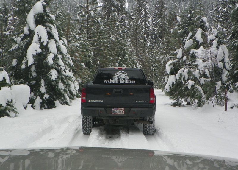
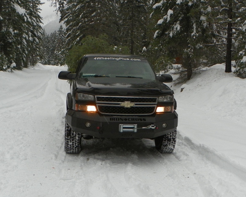
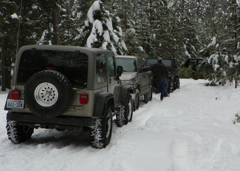
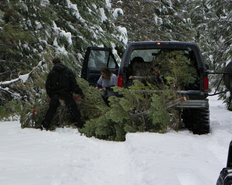
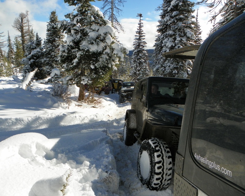
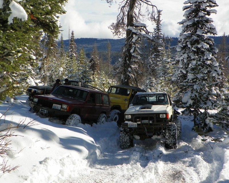
On Saturday July 19th, 2008, everyone met up at Lost Meadow off FS1906 for the annual summer Naches Pass 4×4 Run we call the “Wild Winger”.  Around 10:30 AM we hit the Naches Pass Trail (4W684) with three XJs, Two Toyota Trucks and a FJ40.

88sr5rollin1986 had a steering wheel problem before we got to FS1913. With the help of a few other, he got the steering wheel back on where it worked. At FS1913 88sr5rollin1986 took his rig back to camp because of the steering wheel problem. 88sr5rollin1986 and his Co-pilot got a ride in Scuba’s rig to see the rest of the trail.

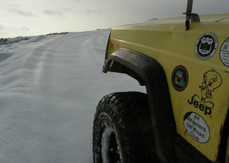
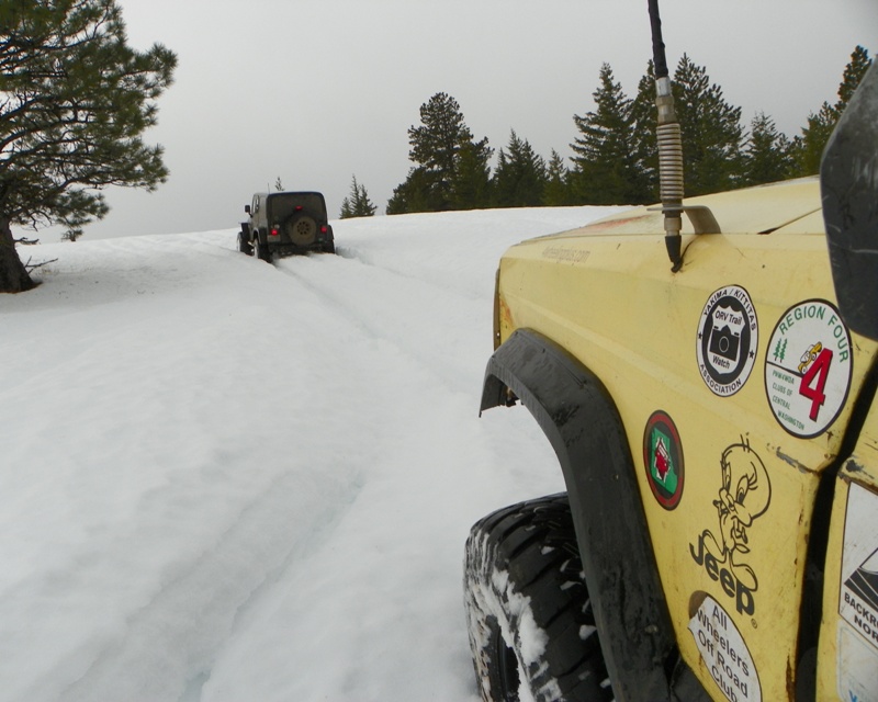
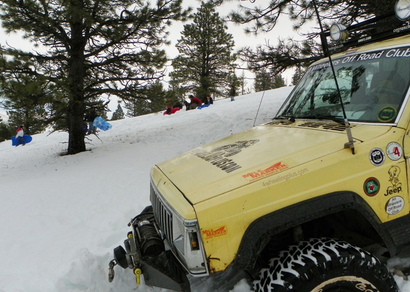
We headed on crossing the trail bridges. “99” was afraid she was going to drive off them with her Tweety Jeep.

We stopped at the top of a hill climb so “Ron the Parts Guy” FJ40 could cool down. This is when 89 yota’s rig wouldn’t start. Oh what a feeling! Test Dummy helped 89 yota get his rig started and we were on our way.
We stopped at the top of the Naches Pass to get some pictures and then stopped for lunch at the Pacific crest trail crossing.

After lunch we headed on west down the Naches Pass Trail. At FS70, we took a break to hike down to see Naches Cliff, where the Pioneers had winch down their wagons.

Heading back over by NF70 to Pyramid Pass “Ron the Parts Guy” stopped to call his wife.

On FS1914 we jumped back on Naches Pass Trail to ran it back East. We went back to camp and ate dinner.

After dinner we took Scuba’s and my 99 XJ up Kaner (4W676) from the bottom. We ran it until we found a big mud hole Scuba could not make it through with both lockers on. Scuba finely gave up trying after I told him I wasn’t driving in that.

The next day Scuba headed home and we drove up to Ravens Roost. Up on top at Ravens Roost was a very nice view of Mt Rainier.

The Toyotas headed out for home. We head on down and decided to run Power Line. The part of Power Line we ran wasn’t bad. It beats running the road.

This was a very fun weekend thanks to all that came.

Here are some photos of the EWOR “Wild Winger!” Naches Pass 4×4 Run:

Naches - Lost Meadow

Lost Meadow

Naches

Naches

Naches

Naches Pass 4x4 Trail

Naches Pass 4×4 Trail

Naches

Naches

Naches

Naches

Naches

Naches

Naches

Naches

Naches

Naches

Naches

Naches

Naches

Naches

Naches

Naches

Naches

Naches

Naches

Naches

Naches

Naches

Naches

Naches

Naches

Naches

Naches

Naches

Naches Pass 4x4 Trail

Naches Pass 4×4 Trail at FS1913

Naches

Naches

Naches

Naches

Naches

Naches Pass 4×4 Trail

Naches

Naches

Naches

Naches

Naches

Naches

Naches

Naches

Naches

Naches

Naches

Naches

Naches

Naches

Naches Pass 4x4 Trail

Naches Pass 4×4 Trail

Naches

Naches

Naches

Naches

Naches

Naches Pass 4×4 Trail at Pacific Crest Trail

Naches

Naches

Naches

Naches

Naches

Naches

Naches Pass 4×4 Trail

Naches

Naches

Naches

Naches

Naches

Naches

Naches

Naches

Naches

Naches Pass Trail at Naches Cliff

Naches

Naches

Naches Pass 4×4 Trail at FS70

Naches

Naches

Naches

Pyramid Pass

Naches

Naches

Naches

Naches

Naches

Naches

Naches

Naches

Naches

Naches

Raven Roost

Raven Roost

Mount Rainier

Mount Rainier from Raven Roost

Power Line Trail

Power Line Trail at Raven Roost

Naches

Naches

Naches

Naches


All Wheelers Off Road Club
Eastern Washington Off Road
Go Play Eastern Washington Adventures
Photos: EWOR “Wild Winger!” Naches Pass 4×4 Run 1

Posted in News | Tagged , , , , , , , , , , , , , , , | Comments Off on Photos: EWOR “Wild Winger!” Naches Pass 4×4 Run

Photos: GPS Mapping 4W613 Adjacent Trails

GPS Mapping 4W613 Adjacent Trails
Report and photos by Clay Graham / Eastern Washington Off Road

Sunday July 13th, 2008 we headed out to GPS map the 4W613 Adjacent Trails at the Ahtanum for the Department of Natural Resources. We also had to move some down trees on 4W613. This is the first time we had a chance to work on the northeast section of 4W613 since we officially adopted it. Waycrazy & Bubz rode with me in the Tweety Jeep. Colemancooler was in his Toyota pickup.

We aired down at Nasty Creek Corrals and headed up Nasty Creek Road. On the way up we found deer in the road. They watched us for awhile before running off.

First we GPS Mapped the short cut everyone runs to the Strobach Mountain 4×4 Trail. We continued on Nasty Creek Road to the Louie Way Gap turnoff. This is the access road to the trailheads of Louie Way Gap. 1127 (single track), 4W608 and 4W613. A very inportant thing to add to the DNR Green Dot system.

Down at the three Trail Heads, we found the 4W608 Trail Marker was broken off. We fix it and then headed up 4W613.

We stopped at the Louie Way View Point. It is a nice view of Rimrock Lake and Mt Rainier.

We headed on up 4W613 and had to stop to fix part of the trail around the corner on a climb. Since we were already parked, we walked up to take a look off the cliff.

Next we GPS mapped the Strobach Mountain Vista. Another great place to see Rimrock Lake and Mount Rainier. There was a big forest fire many miles south of us. I believe the cloud is the Cold Springs fire.

We stopped at the 4W613 Upper Meadow near Dome Peak for lunch. We walked down to see some over grown 4×4 trails.

Next we headed through the Dome Peak fire area. We took the Dome Peak to GPS map it. We GPS mapped the trail to the end and then took a hike to the top of Dome Peak.

At the top of Dome Peak was a monument missing a plaque. I wonder what was written on it. The concrete says it was put there on my 16th birthday. There is also a survey marker from 1966.

We took in the views and then headed back down to the rigs. We turned around to backtrack the Dome Peak 4×4 Trail and Colemancooler looked like he came close to flopping it since we parked in a steep place.

Back on 4W613, we stopped to let my dogs out to drink some cool spring water. My small dog Pepper found some cow manure to roll in.

We continued on 4W613 through the are we worked on the day before. We turned down Jackass Road. Down near the last section of Jackass Road, we turned down the “Sylvester” 4×4 trail that we needed to GPS Map. Colemancooler had to get home and headed down the last section of Jackass Road.

We ran this 4×4 trail down to the Ahtanum North Fork. As soon as Waycrazy got everything logged into the GPS, we when down to the creek to let the dogs swim.

This was a very fun day.

Note: Please do not take any trail at the Ahtanum State Forest unless you see it has a Green Dot or Forest Service Trail Marker. You could get a fine for driving on non-marked trails without DNR approval. Trails are only post OPEN not all closed trails are posted closed.

Here are some photos of the GPS Mapping 4W613 Adjacent Trails:

Ahtanum State Forest

Ahtanum State Forest

Ahtanum State Forest

Ahtanum State Forest

Ahtanum State Forest

Ahtanum State Forest

Ahtanum State Forest

Ahtanum State Forest

Ahtanum State Forest

Ahtanum State Forest

Ahtanum State Forest

Ahtanum State Forest

Ahtanum State Forest

Ahtanum State Forest

Ahtanum State Forest

Ahtanum State Forest

Ahtanum State Forest

Ahtanum State Forest

Ahtanum State Forest

Ahtanum State Forest

Ahtanum State Forest

Ahtanum State Forest

Ahtanum State Forest

Ahtanum State Forest

Ahtanum State Forest

Ahtanum State Forest

Ahtanum State Forest

Ahtanum State Forest

Ahtanum State Forest

Ahtanum State Forest

Ahtanum State Forest

Ahtanum State Forest

Ahtanum State Forest

Ahtanum State Forest

Ahtanum State Forest

Ahtanum State Forest

Ahtanum State Forest

Ahtanum State Forest

Ahtanum State Forest

Ahtanum State Forest

Ahtanum State Forest

Ahtanum State Forest

Ahtanum State Forest

Ahtanum State Forest

Ahtanum State Forest

Ahtanum State Forest

Ahtanum State Forest

Ahtanum State Forest

Ahtanum State Forest

Ahtanum State Forest

Ahtanum State Forest

Ahtanum State Forest

Ahtanum State Forest

Ahtanum State Forest

Ahtanum State Forest

Ahtanum State Forest

Ahtanum State Forest

Ahtanum State Forest

Ahtanum State Forest

Ahtanum State Forest

Ahtanum State Forest

Ahtanum State Forest

Ahtanum State Forest

Ahtanum State Forest

Ahtanum State Forest

Ahtanum State Forest

Ahtanum State Forest

Ahtanum State Forest

Ahtanum State Forest

Ahtanum State Forest

Ahtanum State Forest

Ahtanum State Forest

Ahtanum State Forest

Ahtanum State Forest

Ahtanum State Forest

Ahtanum State Forest

Ahtanum State Forest

Ahtanum State Forest

Ahtanum State Forest

Ahtanum State Forest

Ahtanum State Forest

Ahtanum State Forest

Ahtanum State Forest

Ahtanum State Forest

Ahtanum State Forest

Ahtanum State Forest

Ahtanum State Forest

Ahtanum State Forest

Ahtanum State Forest

Ahtanum State Forest

Ahtanum State Forest

Ahtanum State Forest

Ahtanum State Forest

Ahtanum State Forest

Ahtanum State Forest

Ahtanum State Forest

Ahtanum State Forest

Ahtanum State Forest

Ahtanum State Forest

Ahtanum State Forest

Ahtanum State Forest

Ahtanum State Forest

Ahtanum State Forest

Ahtanum State Forest

Ahtanum State Forest

Ahtanum State Forest

Ahtanum State Forest

Ahtanum State Forest

Ahtanum State Forest

Ahtanum State Forest

Ahtanum State Forest

Ahtanum State Forest

Ahtanum State Forest

Ahtanum State Forest

Ahtanum State Forest

Ahtanum State Forest

Ahtanum State Forest

Ahtanum State Forest

Ahtanum State Forest

Ahtanum State Forest

Ahtanum State Forest

Ahtanum State Forest

Ahtanum State Forest

Ahtanum State Forest

Ahtanum State Forest

Ahtanum State Forest

Ahtanum State Forest

Ahtanum State Forest

Ahtanum State Forest

Ahtanum State Forest

Ahtanum State Forest

Ahtanum State Forest

Ahtanum State Forest

Ahtanum State Forest

Ahtanum State Forest

Ahtanum State Forest


All Wheelers Off Road Club
Eastern Washington Off Road
Go Play Eastern Washington Adventures
Photos: GPS Mapping 4W613 Adjacent Trails 2

Posted in News | Tagged , , , , , , , , , , , , , | Comments Off on Photos: GPS Mapping 4W613 Adjacent Trails

Photos: EWOR 4W613 Work Day

4W613 Work Day
Hosted by Eastern Washington Off Road
Report and photos by Clay Graham / Eastern Washington Off Road

This year the we officially adopted trail 4W613 “Divide Ridge East”. With the late snow pack and last weekend being a holiday, we just now got a chance to work on the trail on Saturday July 12th, 2008.

Saturday we met up about 9 AM on Jackass Road at the Grey Rock Trail. My wife “99” volunteered to run an Aid station for the 50K trail runners to promote Off Roaders. Once we got “99” set up we headed up Jackass Road and then down 4W613.

Our first stop was to clear a trail off the trail at the first meadow. Demontang worked on cutting the tree off the trail. After Demontang made the cuts we moved around to get a cable on the tree. Using a tree saver and snatch block, I with Fatboy’s help started winching the cut part of the tree into the newly made by-pass.

On down the trail we cut some down trees that had been cut before just wide enough for quads. People in rigs had widened the trail into the mud to make the turn.

Down a ways was a tree across the trail that has been down since last year. I cut it up. Fatboy and Demontang moved it off to the side. A little farther down, Demontang moved another log off the trail.

The trail stated getting real tight for Demontang’s Ranger. At one pint Fatboy winched Demontang’s rig off the tree.

Down at the 4W613 Lower Meadow, there was a very big tree that fell a few years back blocking the trail. People made a by pass that cut though the stream and into the meadow. We came to fix this problem. Fatboy and I worked on pulling longs on the side of 4W613 to block off the meadow as Demontang cutting the down trees we pulled and winch into place.

We also added logs to the other side to show the Grey Rock Trailhead and some to block the by-pass made by quads.

Next we worked on blocking the mud hole from being wider. People were making the mud hole wider by driving around it into the meadow. After Fatboy drug the logs into the by-pass, Demontang cut off any branches that could cause damage to an ORV.

This was all the time we had to work on this day so we headed out. Fatboy and Demontang continued running 4W613 on out. I headed back the the 50K Aid station to help my wife load up after the run was over.

We returned the Aid Station items to Tree Phones and then took a drive up Sedge Ridge for a picnic since we new the valley was hot.

Here are some photos of the EWOR 4W613 Work Day:

Ahtanum State Forest

Ahtanum State Forest

Ahtanum State Forest

Ahtanum State Forest

Ahtanum State Forest

Ahtanum State Forest

Ahtanum State Forest

Ahtanum State Forest

Ahtanum State Forest

Ahtanum State Forest

Ahtanum State Forest

Ahtanum State Forest

Ahtanum State Forest

Ahtanum State Forest

Ahtanum State Forest

Ahtanum State Forest

Ahtanum State Forest

Ahtanum State Forest

Ahtanum State Forest

Ahtanum State Forest

Ahtanum State Forest

Ahtanum State Forest

Ahtanum State Forest

Ahtanum State Forest

Ahtanum State Forest

Ahtanum State Forest

Ahtanum State Forest

Ahtanum State Forest

Ahtanum State Forest

Ahtanum State Forest

Ahtanum State Forest

Ahtanum State Forest

Ahtanum State Forest

Ahtanum State Forest

Ahtanum State Forest

Ahtanum State Forest

Ahtanum State Forest

Ahtanum State Forest

Ahtanum State Forest

Ahtanum State Forest

Ahtanum State Forest

Ahtanum State Forest

Ahtanum State Forest

Ahtanum State Forest

Ahtanum State Forest

Ahtanum State Forest

Ahtanum State Forest

Ahtanum State Forest

Ahtanum State Forest

Ahtanum State Forest

Ahtanum State Forest

Ahtanum State Forest

Ahtanum State Forest

Ahtanum State Forest

Ahtanum State Forest

Ahtanum State Forest

Ahtanum State Forest

Ahtanum State Forest

Ahtanum State Forest

Ahtanum State Forest

Ahtanum State Forest

Ahtanum State Forest

Ahtanum State Forest

Ahtanum State Forest

Ahtanum State Forest

Ahtanum State Forest

Ahtanum State Forest

Ahtanum State Forest

Ahtanum State Forest

Ahtanum State Forest

Ahtanum State Forest

Ahtanum State Forest

Ahtanum State Forest

Ahtanum State Forest

Ahtanum State Forest

Ahtanum State Forest

Ahtanum State Forest

Ahtanum State Forest

Ahtanum State Forest

Ahtanum State Forest

Ahtanum State Forest

Ahtanum State Forest

Ahtanum State Forest

Ahtanum State Forest

Ahtanum State Forest

Ahtanum State Forest

Ahtanum State Forest

Ahtanum State Forest

Ahtanum State Forest

Ahtanum State Forest

Ahtanum State Forest

Ahtanum State Forest

Ahtanum State Forest

Ahtanum State Forest

Ahtanum State Forest

Ahtanum State Forest

Ahtanum State Forest

Ahtanum State Forest

Ahtanum State Forest

Ahtanum State Forest

Ahtanum State Forest

Ahtanum State Forest

Ahtanum State Forest

Ahtanum State Forest

Ahtanum State Forest

Ahtanum State Forest

Ahtanum State Forest

Ahtanum State Forest

Ahtanum State Forest

Ahtanum State Forest


All Wheelers Off Road Club
Eastern Washington Off Road
Go Play Eastern Washington Adventures
Photos: EWOR 4W613 Work Day 3

Posted in News | Tagged , , , , , , , , , , , , , | Comments Off on Photos: EWOR 4W613 Work Day

Photos: GPS Mapping Sedge Ridge 4×4 Trails

GPS Mapping Sedge Ridge Trails
Report and photos by Clay Graham / Eastern Washington Off Road

Monday July 7th, 2008 we headed out to GPS map Sedge Ridge at the Ahtanum for the Department of Natural Resources.

We started by heading up the Ahtanum South Fork Road, ran all the Non-Green Dot Roads we could find and came out at the Ahtanum Sno-park.

Here are some photos of the Sedge Ridge GPS Mapping:

Ahtanum State Forest

Ahtanum State Forest

Ahtanum State Forest

Ahtanum State Forest

Ahtanum State Forest

Ahtanum State Forest

Ahtanum State Forest

Ahtanum State Forest

Ahtanum State Forest

Ahtanum State Forest

Ahtanum State Forest

Ahtanum State Forest

Ahtanum State Forest

Ahtanum State Forest

Ahtanum State Forest

Ahtanum State Forest

Ahtanum State Forest

Ahtanum State Forest

Ahtanum State Forest

Ahtanum State Forest

Ahtanum State Forest

Ahtanum State Forest

Ahtanum State Forest

Ahtanum State Forest


All Wheelers Off Road Club
Eastern Washington Off Road
Go Play Eastern Washington Adventures
Photos: GPS Mapping Sedge Ridge 4x4 Trails 4

Posted in News | Tagged , , , , , , , , , , , , , | Comments Off on Photos: GPS Mapping Sedge Ridge 4×4 Trails

Photos: EWOR Do The Dew ORV Run

Do the Dew ORV Run!
Hosted by Eastern Washington Off Road
Report and photos by Clay Graham / Eastern Washington Off Road

On Saturday July 5th, 2008 we met up at Tree Phones Campground around 10 AM. On this run we had Tiny – Bike, Fatboy – Bike , Test Dummy – Bike, Jeepscum – Quad, Ceg – Quad, Mason – Quad, Mischief Maker – Quad, Sparky – Quad.

We headed up the Ahtanum Mid Fork Road. We stopped for a photo on Darland Mountain and headed off the North Slope of Darland. We stopped to regroup at the Blue Lake 4×4 Trailhead. A lot of quads passed us there.

We stopped at Blue Lake for a short break at Blue Lake, then headed on up 4W615 and onto FS1020. We turned down 4W613 and regroup at the 4W613 Lower Meadow where the Grey Rock Trail ties in.

Next it was on up past Dome Peak to the 4W613 Upper Meadow. We pulled over to let the Gleed Boys pass. We stopped for a break at the first view point after the Strobach Mountain Vista.

Next we headed on down the trail to the last view point over Rimrock before dropping to Louie Way Gap.

Next we headed down the steep rocky part of the 4W613 trail. The bike riders had a hard time in the section because of the big rock drop offs. We took a break at the 4W613 & 4W608 trail intersection.

Next we hit C1000 and on up to the Strobach Mountain 4×4 Trail. We turn up it to get back to 4W613. We stopped at the Strobach Mountain Vista for the next break. This is a great place to look down at Rimrock Lake.

After a short break we took 4W613 across the Dome Peak area. Heading up the steep climbs on Foundation Ridge, we regrouped and Fatboy told us about another crash.

We stopped at the 4W613 Trail Head at FS1020/A2300. Some of the group headed down on Jackass Road. Three of us rode up to Blue Slide Lookout.

At Blue Slide Lookout, we looked back at down Divide Ridge where we had rode earlier to Louie Way and back.

Next we headed down 4W615, down the Blue Lake trail, up the North Fork over Darland Mountain and down the Mid Fork to our camp at Tree Phones. We found PHANTOM 309 sitting in our camp drinking beer. Most of the group headed home. PHANTOM 309, Mischief Maker, Mason and me stayed the night. PHANTOM 309 had some funny camp fire stories to tell.

This was another great run with great company.

Here are some photos of the EWOR Do The Dew ORV Run:

Ahtanum State Forest

Tree Phones Campground

Ahtanum State Forest

Ahtanum State Forest

Ahtanum State Forest

Darland Mountain

Ahtanum State Forest

Ahtanum State Forest

Ahtanum State Forest

Blue Lake

Ahtanum State Forest

Ahtanum State Forest

4W613 Lower Meadow

Ahtanum State Forest

Ahtanum State Forest

Ahtanum State Forest

Ahtanum State Forest

Ahtanum State Forest

4W613 Upper Meadow

Ahtanum State Forest

Ahtanum State Forest

Ahtanum State Forest

Ahtanum State Forest

Ahtanum State Forest

Ahtanum State Forest

Ahtanum State Forest

Strobach Mountain

Ahtanum State Forest

Ahtanum State Forest

Ahtanum State Forest

Louie Way Viewpoint

Ahtanum State Forest

Ahtanum State Forest

Ahtanum State Forest

Ahtanum State Forest

Ahtanum State Forest

Ahtanum State Forest

Rimrock Lake

Ahtanum State Forest

Ahtanum State Forest

Ahtanum State Forest

Ahtanum State Forest

Ahtanum State Forest

Ahtanum State Forest

Ahtanum State Forest

Ahtanum State Forest

Ahtanum State Forest

Ahtanum State Forest

Ahtanum State Forest

Ahtanum State Forest

Ahtanum State Forest

Ahtanum State Forest

Ahtanum State Forest

Ahtanum State Forest

Ahtanum State Forest

Ahtanum State Forest

Ahtanum State Forest

Ahtanum State Forest

Ahtanum State Forest

Ahtanum State Forest

Ahtanum State Forest

4W613 at 4W615 in Louie Way Gap

Ahtanum State Forest

Ahtanum State Forest

Ahtanum State Forest

Ahtanum State Forest

Strobach Mountain 4×4 Trail at Nasty Creek Road.

Ahtanum State Forest

Ahtanum State Forest

Ahtanum State Forest

Ahtanum State Forest

Ahtanum State Forest

Ahtanum State Forest

Strobach Mountain Vista

Ahtanum State Forest

Ahtanum State Forest

Ahtanum State Forest

Ahtanum State Forest

Ahtanum State Forest

4W613 at Jackass Road

Ahtanum State Forest

Blue Slide Lookout

Ahtanum State Forest

Ahtanum State Forest

Ahtanum State Forest

Ahtanum State Forest

Blue Slide Lookout Shelter

Ahtanum State Forest


All Wheelers Off Road Club
Eastern Washington Off Road
Go Play Eastern Washington Adventures
Photos: EWOR Do The Dew ORV Run 5

Posted in News | Tagged , , , , , , , , , | Comments Off on Photos: EWOR Do The Dew ORV Run